SCS Software Completes Iceland Research Trip for Euro Truck Simulator 2 DLC
The development team has returned from a one-week field study in Iceland to gather physical reference material for the upcoming map expansion, aiming to capture landscape scale and sensory details that digital sources cannot provide.
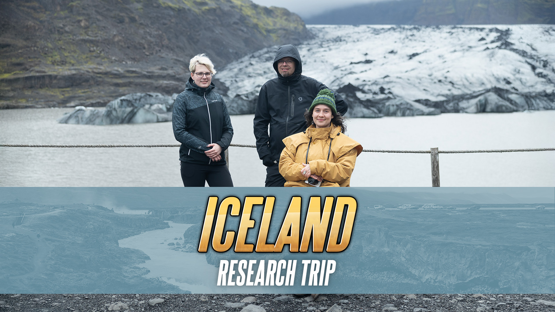
SCS Software has confirmed that a core group of developers recently completed a research trip to Iceland. The purpose of the excursion was to gather valuable reference material for the upcoming Euro Truck Simulator 2 Iceland DLC. While the digital development of the map expansion is already in an advanced state, the team identified a need to collect missing references and deepen their understanding of the region’s physical characteristics before finalizing the asset creation.
The delegation consisted of Ivo, the map DLC lead, alongside map designers Ashley and Johana. They were joined by colleagues from the marketing department, who participated in a research trip for the first time to document the journey. This collaboration indicates a structured approach to content creation, where technical design and media documentation occur simultaneously. The team plans to release a detailed “SCS On The Road” episode in the future, which will provide a comprehensive look at the trip and the reference-gathering process.
The Value of First-Hand Observation
The primary technical driver for the trip was the limitation of remote data. According to the studio, first-hand experience allows developers to take in the landscape with all their senses, providing insights that digital sources struggle to match. While internet resources and street view imagery offer a visual baseline, they fail to convey the true scale of the environment, which is a critical factor in landscape design.
Ivo noted that visiting Iceland was wonderful because it allowed the team to “get to know” the places they work on. Despite being familiar with the geography through digital models, seeing the landscape for the first time in person helped them find their bearings. The team reported noticing landmarks they already knew from the game soon after arrival, creating a bridge between the virtual representation and the physical reality.
Scale and Sensory Details
The most significant takeaway from the trip concerned the magnitude of Iceland’s natural features. The developers were surprised by how large some of the mountains and waterfalls actually are. Ashley, one of the map designers, described the mountains as vast and varied, noting that she sometimes found it difficult to fully comprehend their size. This sensory input is crucial for ensuring that the in-game environment feels authentic rather than merely visually accurate.
Johana emphasized that while online research provides a sense of the island’s beauty, being there in person delivers a different impact. The team observed that street view cannot replicate the feeling of scale, which is essential for landscape immersion. The goal was to capture the “feeling” of being there, translating the emotional and physical impact of the scenery into the game’s design parameters.
Route and Reference Points
During the one-week visit, the team covered a significant distance, prioritizing locations that required detailed study. They drove the entire western half of the Ring Road, traveling roughly from Lake Mývatn in the north to Vík in the south. This route allowed them to visit a variety of interesting locations and gather diverse reference material.
The team documented several distinct environmental features that are unusual for the developers. These included:
- High mountains and fjords.
- Lava fields and numerous small waterfalls.
- Torrents appearing suddenly in narrow gorges.
- Free-grazing sheep and horses.
In addition to natural landscapes, the team studied various types of roads and urban areas. Particular attention was paid to the cities of Akureyri and Reykjavík. These urban centers present specific challenges in terms of road layout, building density, and traffic flow, requiring precise reference data to ensure accurate replication in the simulation.
Implications for Simulation Users
For users of Euro Truck Simulator 2, this research trip signals a commitment to high-fidelity environmental design. The inclusion of physical reference gathering suggests that the upcoming DLC will prioritize atmospheric authenticity and correct scaling of geographical features. The team’s focus on “missing references” implies that previous digital models may have lacked certain nuances that can only be captured through direct observation.
The involvement of the marketing department in documenting the trip also means that players can expect more behind-the-scenes content regarding the development process. The promised “SCS On The Road” episode will likely provide a deeper look at how specific landmarks and landscapes are translated from reality into the game engine.
While the trip has concluded, the development of the map expansion continues. The data gathered will now be integrated into the existing advanced-stage development pipeline. This process ensures that the final product reflects not just the visual appearance of Iceland, but also its scale, atmosphere, and the unique characteristics of its roads and natural features.
Real Sim is produced with editorial automation and institutional bylines. How this is made →
More Other Machines →